land surveying and planning
We provide a wide range of surveying services from the general home owner to large construction projects:
- Property and Right-of-Way Surveying Boundary Determination
- Retracement Surveys, Relocation Surveys, Family Conveyance Surveys
- Court Ordered Surveys, Encroachment Surveys, Aggregation Surveys
- ALTA Surveys, and As-Built Surveys
- Site Evaluation and Lot Layouts
- Construction Surveying and Staking
- Vertical and Topographic surveying
- Major and Minor Subdivision- design, drafting, permitting, layout
- Mineral Claim and Government lot Surveying
- Section Land and Cadastral Surveying
- Floodplain and Elevation Certificates
- Stream Channel Cross Sectioning
- LOMAs, LOMRs, FIS Profile Analysis
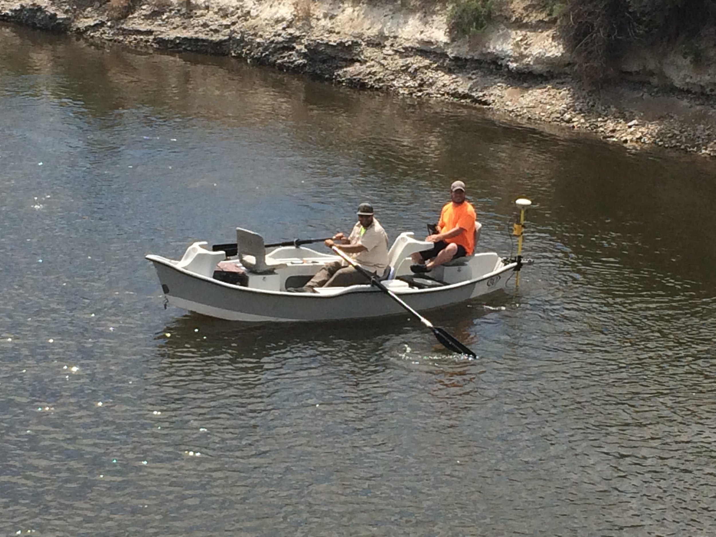
- River, Reservoir, and Lake Bathymetric Surveying
- GPS RTK Surveying and Conventional Surveying
- Control Networks and Static GPS Surveying
- Examining Land Surveyor for Butte-Silver Bow City-County
Engineering services
We provide the engineering services necessary for land development
projects including:
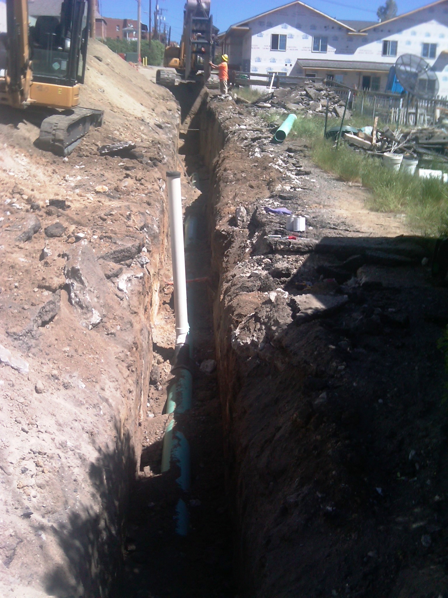
- Sewer and water line extensions
- Storm water run-off planning
- Street, road, and parking lot design
- Water monitoring projects
- Soil analysis for subdivision planning
- Department of Environmental Quality permitting
- Governmental presentations for subdivision development
- Technical reports for planning and development of projects
- Floodplain Engineering
- Elevation Certificates
- LOMAs, LOMRs, FIS Profile Analysis
drafting services
We provide clients with the necessary maps and plats to accompany their surveying projects. Our most common type of mapping projects include:
- Certificates of Survey
- ALTA site plans
- As-Built Mapping
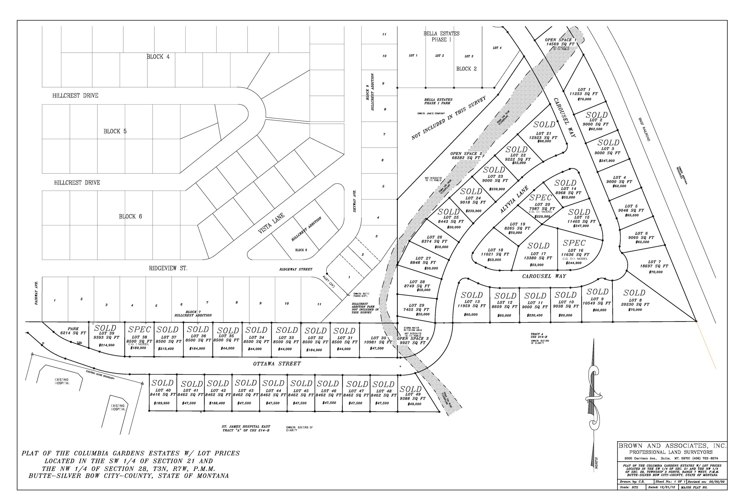
- Subdivision plats of all kinds
- Topographic site mapping
- Encroachment surveys
- Display mapping used for court and legal disputes
- Engineering plans and drawings
- Aerial Mapping
- Volume Calculation
- Surface Modeling
- Lidar Surface Manipulation
